|
Walks - no car required (in order of distance/difficulty)
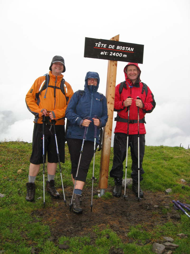
Les Randonneurs to Samoëns – orientation Le Mont Gorge des Tines Verchaix Pertuet – Chalets du Trot Lac de Ger Le Criou Walks - car required (in order of distance/difficulty) Sales – our favourite walk La Bourgeoise and Pointe D’Angolon Refuge du Folly Tête de Bostan Le refuge du Grenairon Refuge de la Vogealle (with overnight stay) Cycling |
Walking and Cycling
There are lots of footpath signs in the area but we recommend you hike or bike equipped with a map all the same. The French IGN maps are of a similar quality to the English Ordnance Survey maps. The one roughly centred on Samoëns is 3530ET. It’s usually available at the book shop in Samoëns and also some supermarkets, but we buy ahead in case they are sold out. In the course of writing this we found several suggested hiking routes here: https://www.randos-montblanc.com/en/tag/3530et-ign-map, including some we haven’t tried yet. We’ve done a few stays in mountain refuges and highly recommend them. Accommodation is basic, ranging from a large communal barn (Sales) to smaller six berth dormitories (La Folly). All offer tasty hearty food at the end of a trek and most will provide a lunch for the following day. Showers (possibly hot) are available at some for an extra charge. We advise booking refuge accommodation in advance. Don’t expect to hear English spoken or understood. Details of refuges are available at the Samoëns town website. Other Activities For a full range of tourist information visit https://winter.samoens.com/ or https://summer.samoens.com/. Here you will find all you need to know about ski hire, ski pass purchase, gondola running times, parapenting, white water rafting and much more. |

